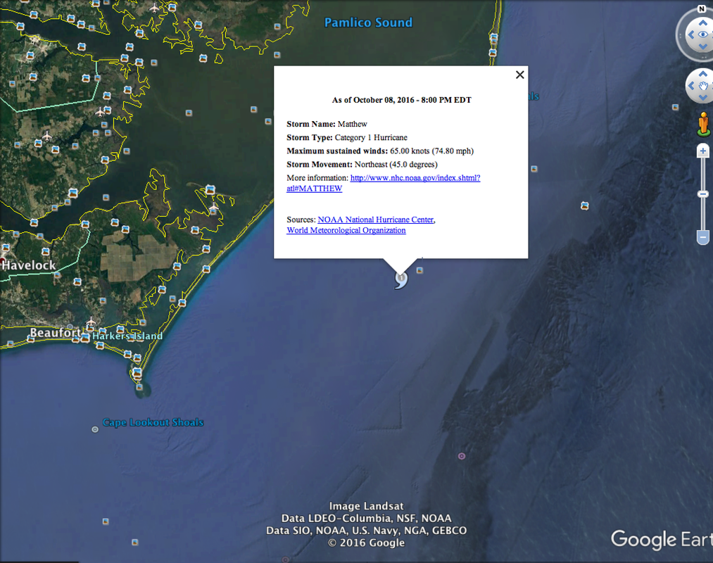
This is a great idea to make science learning even more realistic for students. As they are hearing about interesting patterns of weather, the class can log in to Google Earth to see the pattern (using the overlay feature to peal it apart).
|
In 2011 the In Touch Blog (Instructional Technology Blogger Steven Anderson from Winston-Salem in Forsyth County) shared a lesson idea to track and view a hurricane in real time via Google Earth. What a wonderful example of adding value to a lesson on weather and science as well as extending it to everyday life.
This is a great idea to make science learning even more realistic for students. As they are hearing about interesting patterns of weather, the class can log in to Google Earth to see the pattern (using the overlay feature to peal it apart).
0 Comments
|
AuthorLiz Kolb is a clinical associate professor of education technologies at the University of Michigan in Ann Arbor. She works with over 150 preservice teachers every year on integrating technology into K-12 teaching. Categories
All
More Schools Using Triple E and Articles about #tripleE Kent ISD (MI)
Engaging the Rewired Brain Tech PD Blog Lafayette Jefferson High School (IN) #edtech Blog Noblesville Schools (IN) ISTE Ed Tek Hub West Bloomfield Schools (MI) From Texting to Teaching by Hyler and Hicks Van Buren Elementary School, Janesville (WI) About Education Article eSchoolNews Article Archives
October 2020
|


 RSS Feed
